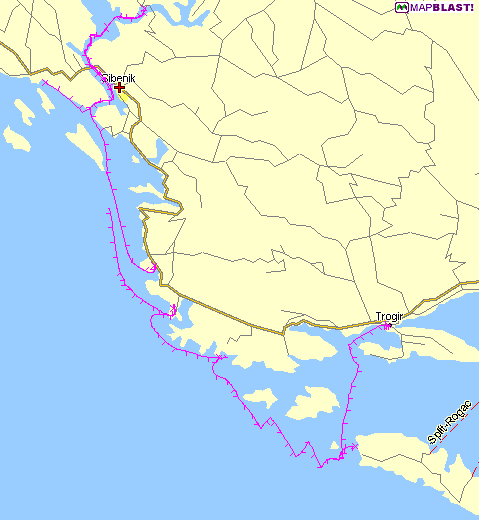
I downloaded
the base map of the Croatian coast from MapBlast's website.
The tracks were drawn onto the bitmap using GPS Utility.
GPS Utility lets me
annotate the tracks; I chose a "tick" for each
10 minutes of sailing time.